An ancient banded ironstone formation of rich biodiversity and great beauty.
The Helena and Aurora Range (Bungalbin) is a spectacular banded ironstone formation range in the Shire of Yilgarn, approximately 100km north of Southern Cross. The range is considered a National Park with National Heritage value, meaning its natural beauty is protected from mining or other operations.
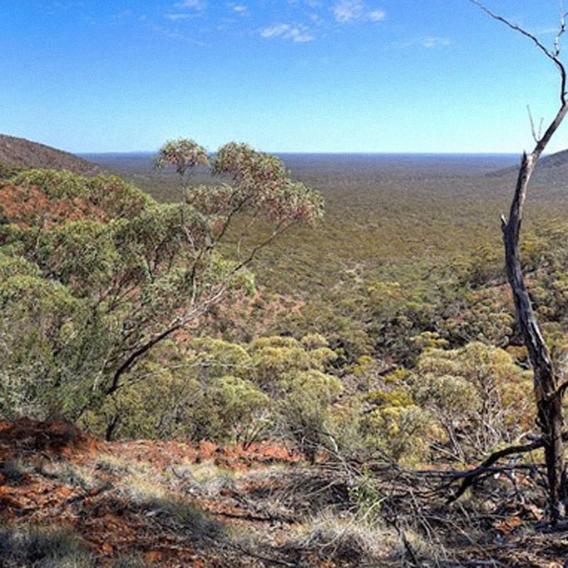
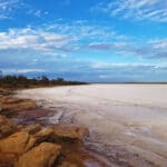
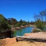
The Range features spectacular rock formations, outcropping caves, contorted landforms and beautiful scenery, surpassed only by the Hammersley Range in Western Australia. The range is 704m above sea level and 200m above the surrounding plain. It is the highest range for hundreds of kilometres in any direction.
Within Helena Aurora Range the only hill with an official name is Bungalbin Hill, located at the south end of the range. It is the first hill you see as you drive into Helena and Aurora Range from the south on the Mt Dimer Track (via Southern Cross and Koolyanobbing).
Views from the top of the Range offer a 360 degree look at the Yilgarn woodlands (part of the Great Western Woodlands) and sandplains. Many people visit Helena Aurora Range, especially on long weekends, camping near the base of the hills.
The spectacular scenery and ancient rock formations offer an experience like no other. The range is also home to remarkable flora (more than 350 native plant species), birds (over 100 species) and reptiles. There are five endemic plant species that have been identified at the Range, including the critically Endangered Leucopogon spectablis which is found only on the range.
Naming of the Range
The name Bungalbin comes from the Kalamaia language of the Kalamaia Kapurn people; Traditional Owners of this country. In 1869, the explorer John Forrest named the range Helena and Aurora after Helena Aurora Monger, the daughter of early settler John Henry Monger.
Visit the Helena and Aurora Range (Bungalbin) website here for more information >
Great Western Woodlands
The Helena and Aurora Range (Bungalbin) is located within the north-western half of the Great Western Woodlands. The Great Western Woodlands covers an area of approximately 16 million hectares and has been described as one of the largest and healthiest temperate woodlands left on Earth.
How to get there: Bungalbin is accessible via Koolyanobbing (60km north of Southern Cross) and the Mt Dimer Track in the Great Western Woodlands. Ensure you have a well maintained vehicle with a full tank of fuel. Road conditions vary – track is mostly gravel and becomes muddy & slippery during and after rain. Please ensure you leave no trace and take all rubbish out with you.


)